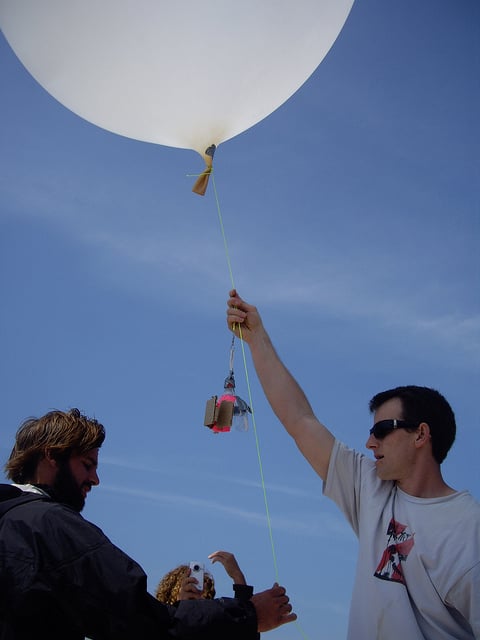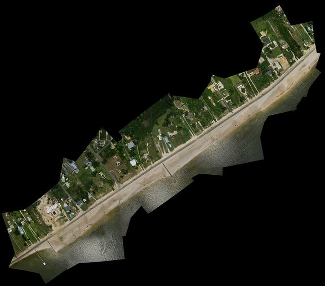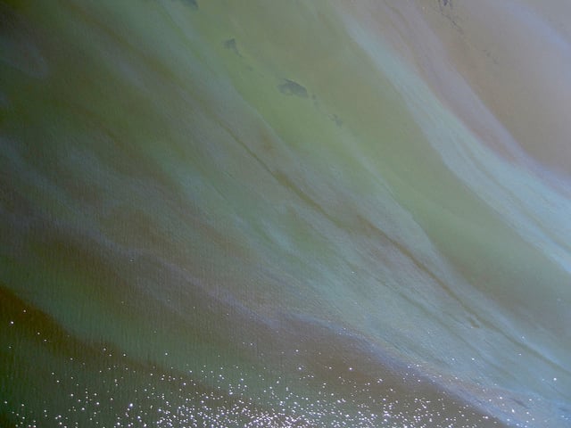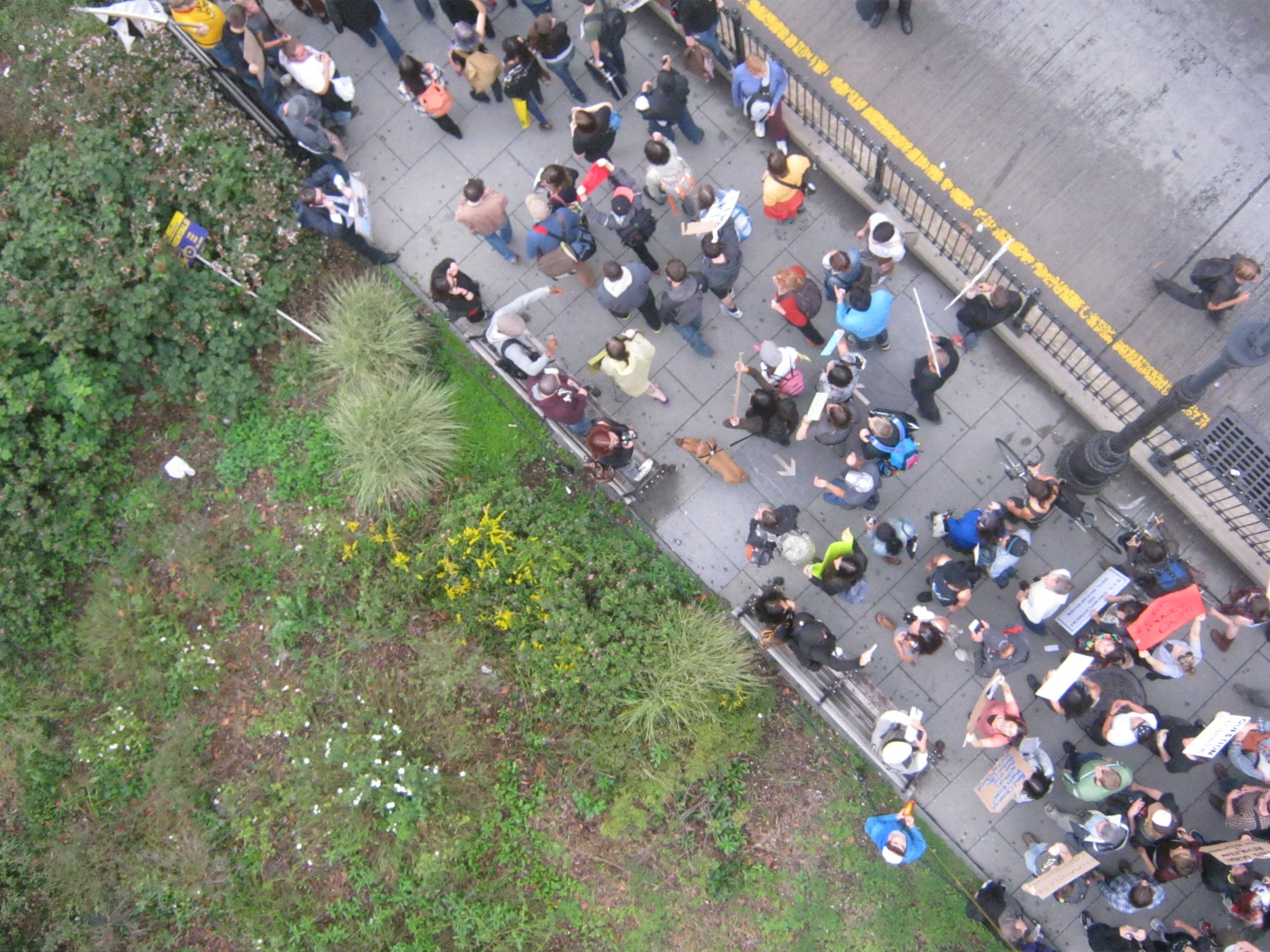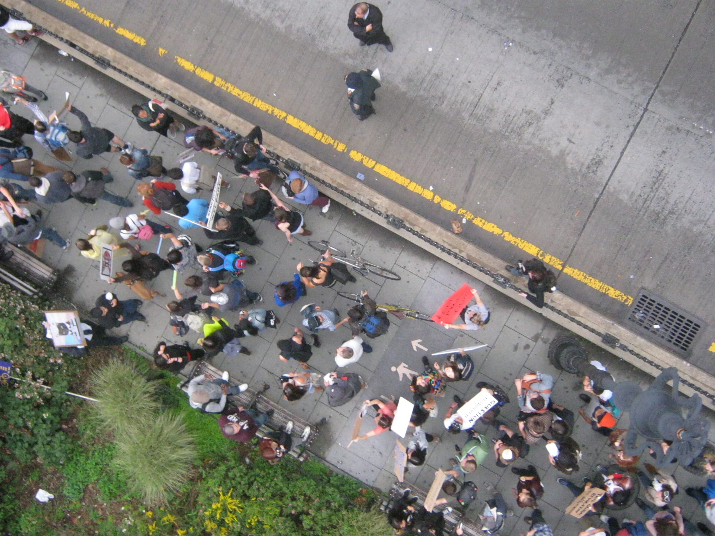
Using kites and balloons to take aerial photos and create maps of your neighborhood is a great way to start documenting and understanding a place. Can you see things change over time? What does your local park look like in the summer vs. the winter? You can have fun taking the pictures and use them as an important tool for a variety of community projects. Here is another great resource for kite photography where you can ask questions and learn from experienced photographers. Images here show how aerial mapping was used to document the protests of Occupy Wall Street and the devastating Deepwater Horizon oil spill, creating valuable records for future legal, environmental, and archival purposes.